Trying to choose between a walk-to-the-Village street, a bluff with ocean views, or a quiet canyon home? In Pacific Palisades, each micro-neighborhood offers a distinct mix of housing, views, trail access, and commute patterns. You want a clear way to compare your options before you tour. Below, you’ll find a simple framework to map the right pocket to your day-to-day life, plus practical post-fire due diligence you should not skip. Market context current as of February 2026. Let’s dive in.
How to use this guide
You’ll see the Palisades grouped into three buyer-friendly lenses: Village-adjacent, coastal/bluff, and canyon/highland. For each, you’ll get a snapshot of housing types, typical price positioning, outdoor access, and commute notes. Price references are directional, not promises. Always verify current comps and status before you write an offer.
Quick map of the Palisades
Pacific Palisades sits between the ocean bluffs to the south and the Santa Monica Mountains to the north, with a small commercial core known as the Village near Sunset Boulevard and Via de la Paz. This geography shapes daily life. You trade between walkability, views, privacy, lot shape, and hillside or coastal considerations. For a concise overview of the community’s location and main corridors, review the neutral summary of the area’s setting and road network in the Pacific Palisades entry on Wikipedia.
Village-adjacent pockets
Alphabet Streets / North Village
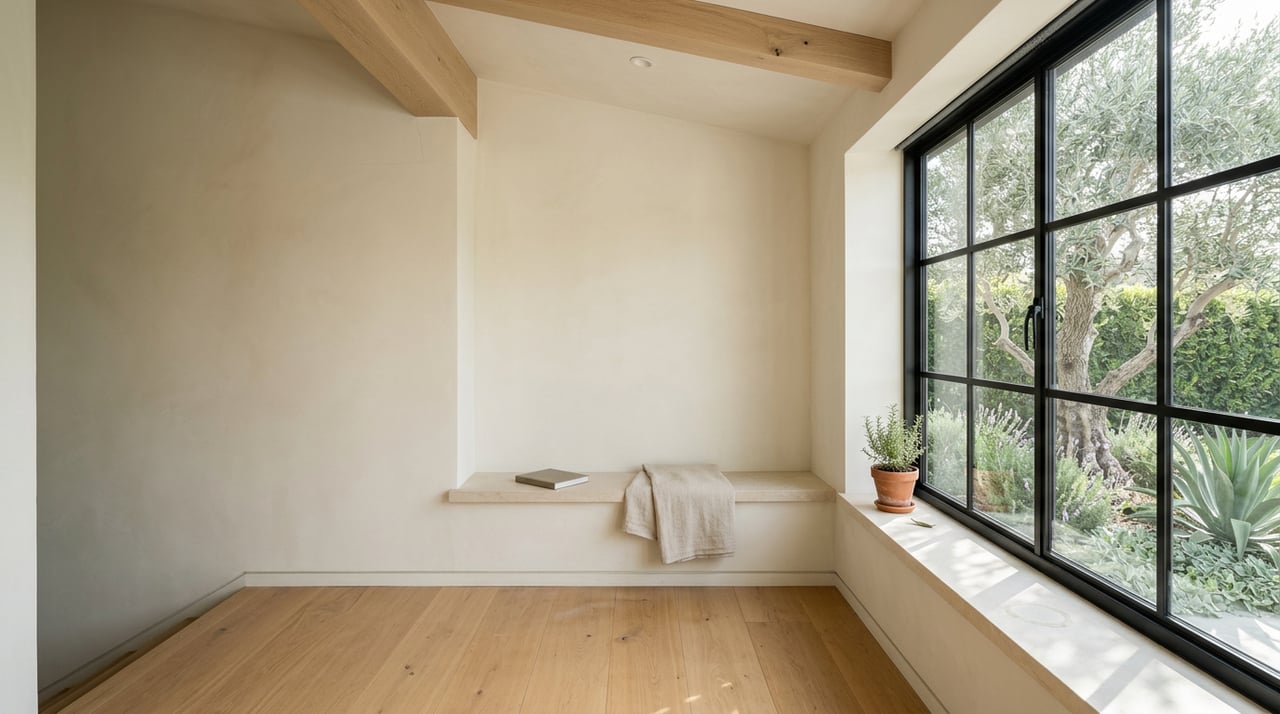
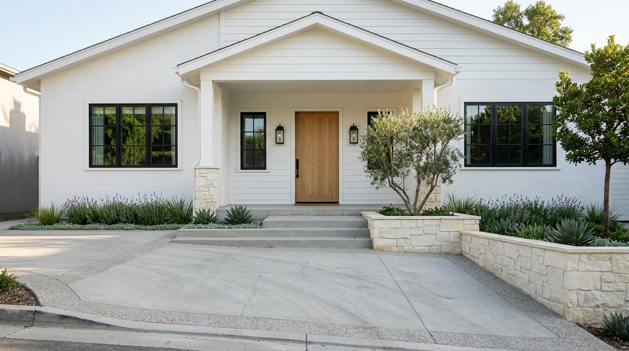
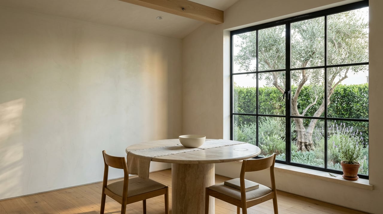
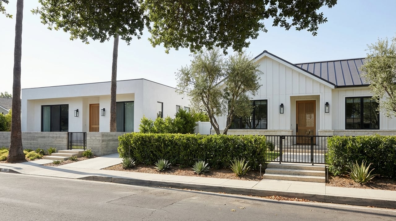
- Housing: Primarily single-family homes on smaller, mostly flatter lots. You’ll see original cottages, mid-century remodels, and newer infill builds.
- Price profile: Often the entry-to-mid doorway into the Palisades relative to coastal bluffs or large canyon estates. Renovated or recently built homes command clear premiums.
- Lifestyle: Easy walks to Palisades Village shops, cafes, and the farmers’ market. Quick access to local trailheads like Temescal Gateway Park for weekend hikes.
- Commute: Shorter local drives to Santa Monica, Brentwood, and UCLA, with travel times varying by time of day.
Village Bluffs / Huntington Palisades
- Housing: Substantial single-family homes on bluff-top or near-bluff parcels, many with remodels or custom designs and more usable flat outdoor space.
- Price profile: Among the higher-value Village-adjacent areas due to location and lot usability. Bluff orientation and views add to pricing.
- Lifestyle: Walkable to the Village with a quieter residential feel. Quick access to beaches via PCH and to local parks and trails.
- Commute: Similar convenience for Westside errands. Peak congestion still applies on Sunset and PCH.
Coastal and bluff pockets
Castellammare and Via/El Medio Bluffs
- Housing: Custom homes on winding bluff streets with ocean views. Lot shapes can be irregular, and some parcels sit near bluff edges.
- Price profile: Among the most premium per-lot pricing in the Palisades. Direct oceanfront or bluff-edge homes often trade at the top of the market.
- Tradeoffs: Spectacular views and beach proximity come with added geologic and permitting complexity. Expect geotechnical studies and, for significant work near the coast, review under the California Coastal Commission’s sea level rise and coastal development policies. See the Commission’s Sea Level Rise Guidance for context.
- Lifestyle: Fast access to the sand and coastal paths. The Getty Villa is a nearby cultural anchor, with details on visiting listed on the museum’s official page.
Canyon and highland pockets
Marquez Knolls
- Housing: Mid-slope neighborhoods above the Village with a mix of mid-century homes and thoughtful remodels. Elevation often brings broad west-facing views.
- Price profile: Commonly mid-range for the Palisades, with view lines, lot size, and elevation driving differences between streets.
- Lifestyle: Quick access to trailheads and ridgelines. Hikes like the Temescal Ridge connections are popular; a great starting point is Temescal Gateway Park.
- Commute: Most daily trips run down to Sunset or across to PCH. Expect variability by peak hours.
Rustic Canyon, Kenter, and the Highlands
- Housing: Rustic Canyon and nearby Kenter pockets include architect-designed estates and older canyon properties on larger lots. The Highlands offers a range from townhomes and condos to gated single-family enclaves at higher elevations.
- Price profile: Rustic Canyon is consistently one of the area’s highest-priced micro-neighborhoods. The Highlands spans a wider pricing spectrum depending on product type and elevation.
- Lifestyle: Strong trail access and a more secluded feel. The Highlands connects quickly to fire roads and regional routes. Trail conditions can vary by season and any ongoing recovery work.
Commutes and transit at a glance
- Road network: Sunset Boulevard is your main east-west route. PCH serves coastal trips and links to Santa Monica and Malibu. The Palisades sits roughly 20 miles west of downtown Los Angeles, and typical travel times vary with regional congestion, as summarized in the community overview.
- Transit: Bus service connects the Palisades to Santa Monica and Brentwood, with lower frequency than rail corridors. For a sense of local options, check schedules at key stops like PCH & Sunset. Most residents rely on cars or ride-hail for daily commuting.
- Rule of thumb: Off-peak, trips to Santa Monica and UCLA can be 15 to 30 minutes. Commutes to central LA or the Valley can be 30 to 60 minutes or more in rush hour. Always test your route at your target departure times.
Outdoor access highlights
- Beaches: Will Rogers State Beach and smaller PCH access points are the everyday beach options for Palisades residents. Lane or lot conditions can shift, so check county updates as needed.
- Trails: Temescal Gateway Park is a major trailhead into the mountains and ridge routes. For a user-friendly description of popular loops and conditions, see the Temescal ridge connections overview. If you want a hiker’s-eye preview of elevation and terrain, community trail descriptions on sites like AllTrails are helpful; one example is the Temescal ridge loop with Bienveneda connections described on AllTrails.
- Culture: The Getty Villa’s galleries and gardens add a distinctive cultural stop to coastal living. Find hours, parking, and ticket details at the Getty Villa visitor page.
Post-fire reality: what to know
The January 2025 Palisades Fire changed the local housing landscape. There were significant structure losses, followed by coordinated debris removal and a multi-agency recovery effort. For situational context, see the Los Angeles Times live coverage and the U.S. Army Corps of Engineers’ summary of the wildfire debris mission in California, which reflects the federal role in cleanup phases (USACE overview).
What this means for you:
- Inventory in some pockets now includes vacant lots and “rebuild-ready” parcels, along with standing homes. Recovery timelines continue to influence availability and pricing.
- You should confirm debris clearance, right-of-entry status, and infrastructure repair details before assuming a lot is buildable. Start with LA County’s debris removal resources and maps and cross-check active local reporting, such as the cleanup progress map noted by Palisades News.
- For bluff or hillside properties, expect geotechnical reports and permit reviews that address slope stability and coastal hazards. The California Coastal Commission’s policy guidance explains how sea level rise and bluff retreat inform coastal development.
Due diligence checklist
Use this quick list to streamline your search and protect your escrow:
- Verify whether you are evaluating a standing home or a rebuild lot. Confirm current comps and recent sales activity on the specific street.
- Confirm debris-removal and clearance status for the parcel using LA County’s debris removal portal. Ask for documentation in your offer requests.
- Order a site-specific geotechnical report for hillside or bluff parcels. For coastal properties, review any Coastal Development Permit history against the Commission’s sea level rise guidance.
- Check road and utility restoration timelines if you are buying in an active rebuild zone. Local updates like the cleanup progress map can help set expectations.
- Confirm insurability and any wildfire-hardening requirements with insurers and lenders early in the process. Tie these to loan conditions during escrow.
- Test your commute at target times and review bus schedules at key nodes such as PCH & Sunset.
Which pocket fits your priorities
- Want to walk to coffee and dinner: Focus on the Alphabet Streets and the immediate Village bluffs. Expect smaller lots and a lively, convenient rhythm.
- Want the widest ocean views: Explore coastal bluffs like Castellammare and select Via or El Medio addresses. Budget for geotechnical and coastal permitting.
- Want trails and a quieter setting: Look to Marquez Knolls, Rustic Canyon, Kenter, and the Highlands. You will trade some driving for access to ridge routes and larger lots in select areas.
Ready to compare homes on the ground
You deserve a calm, well-briefed search with access to the right on and off-market opportunities. If you want neighborhood-specific comps, a tour plan that fits your lifestyle, and white-glove coordination from offer to close, connect with the local team that does this every day. Schedule your consultation with Pence Hathorn Silver.
FAQs
What are the most walkable areas in Pacific Palisades?
- The Alphabet Streets and the immediate Village-adjacent bluffs offer the strongest day-to-day walkability to shops, dining, and services around Sunset Boulevard and Via de la Paz.
How do coastal bluff homes affect permitting and planning?
- Coastal and bluff-edge properties often require geotechnical studies and Coastal Development Permit review. The Coastal Commission’s Sea Level Rise Guidance outlines policy considerations that can shape setbacks and project approvals.
Where can I find reliable updates on the 2025 fire recovery?
- Start with LA County’s debris removal resources and local reporting like the cleanup progress map. The USACE wildfire debris mission overview adds federal context.
What are typical commute patterns from the Palisades?
- Off-peak trips to Santa Monica and UCLA often run 15 to 30 minutes, while peak-hour drives to central LA or the Valley can stretch to 30 to 60 minutes or more. For a neutral overview of local roads and distances, see the Pacific Palisades summary.
Is there good hiking near most neighborhoods?
- Yes. Temescal Gateway Park is a primary local trailhead with links to ridge routes and the larger Backbone Trail network. Trailhead details and park information are listed on the MRCA’s official page.